Discover more than just the Dolomites on your walking holiday
Where your feet take you
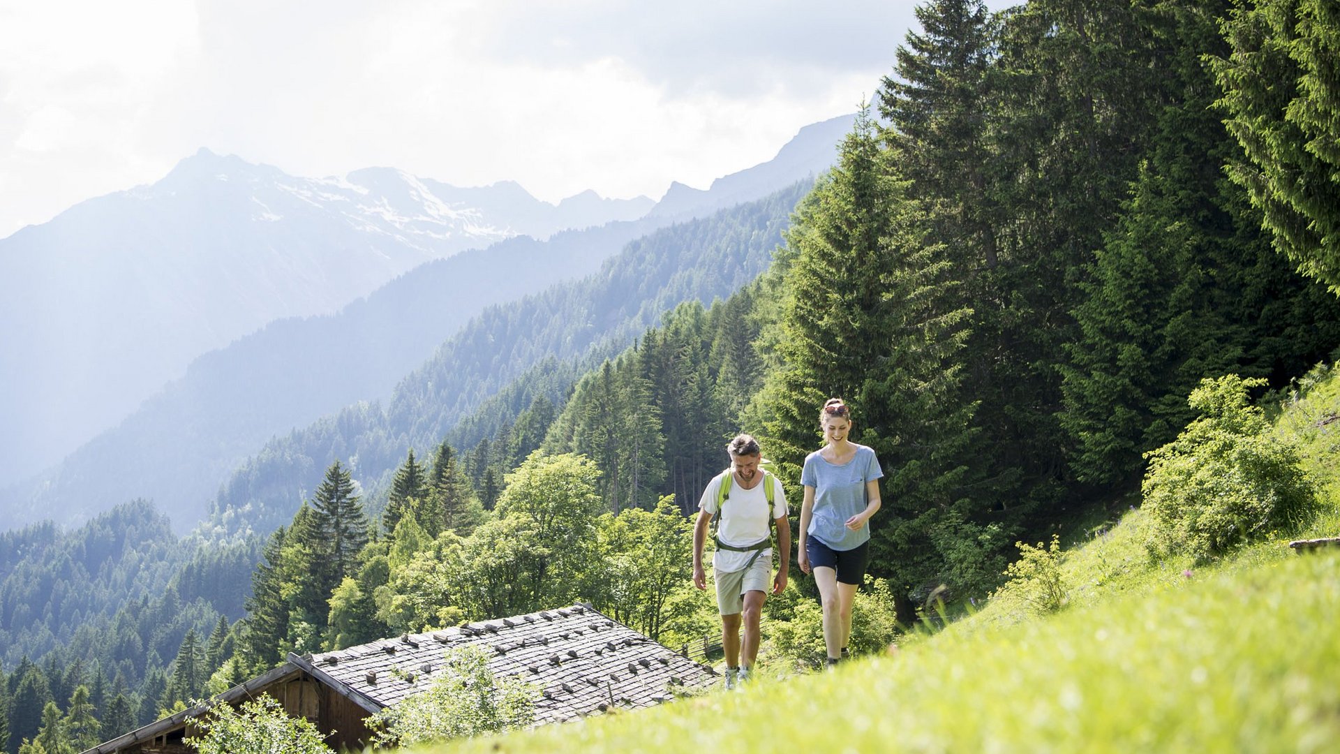
The lush meadow grass rustles under your hiking boots, as the wind gently dances across your smiling face. The mild mountain air fills your lungs and refreshes your spirit. In the distance, you hear the Alpine jackdaws screech while small meadow and forest dwellers scurry busily across the path. You stop to pause for a moment and soak in the panorama: mighty, partly snow-covered mountain giants line the horizon while mystical wisps of fog play around their peaks, and lush forests adorn the foreground in a vibrant green. This is the idyllic setting for those who wish to discover more than just the Dolomites on their walking holiday – specifically, unspoilt Val Passiria/Passeiertal. Here you are greeted by well-maintained hiking trails and crystal-clear mountain lakes surrounded by blooming Alpine roses, shady forests, and fragrant meadows. Val Passiria/Passeiertal offers a wide range of hikes that caters to everyone, from easy Alpine pasture hikes for families to challenging summit tours with amazing views for true mountain experts. So many people visit South Tyrol for the Dolomites, but trekking tours in our area are equally rewarding.
Our services for luxury walking holidays in the Dolomites and beyond
As true locals, we, the Dorfer family, have a selection of first-hand hiking tips and rewarding hiking packages for you.
- Two guided Alpine hikes every week
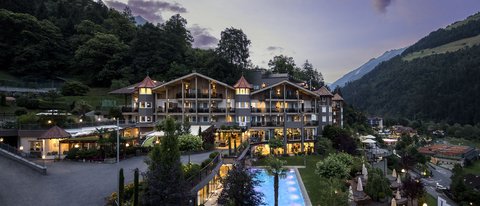
- In summer and autumn: summit hikes with Jörg from Hotel | Chalet Das Alpenschlössel
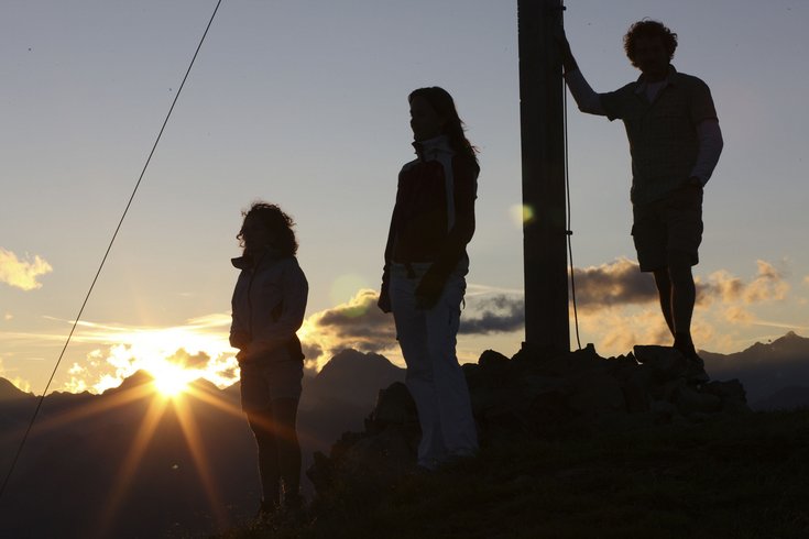
- In high summer: magical sunrise hike to the Flecknerspitze peak (2,331 metres above sea level) with our sauna master Didi and a hut breakfast
- Herb and bee walk with local experts
- Hiking rucksacks for hire at the reception desk
- Trekking poles for hire
- Maps and hiking tips available
Take a look at our free hiking brochure with hiking tips for all ages and abilities, available at the reception desk.
A selection of enjoyable and spectacular hiking routes
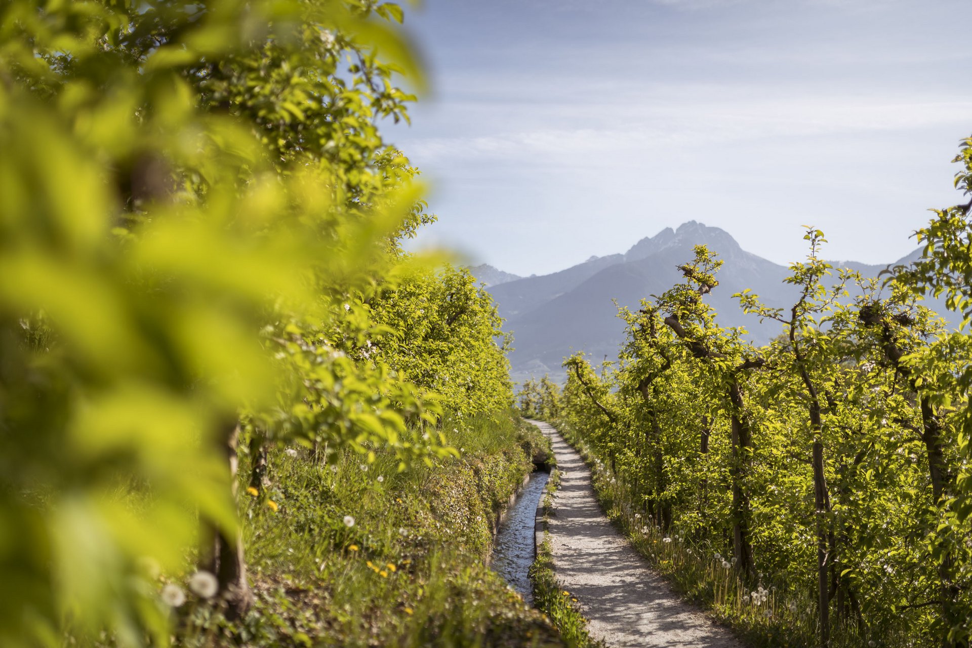
Water channel trails and adventure paths
Leisurely hikes for the whole family
Challenging mountain hikes
Summit hikes
Jogging tips for those who like to step it up a notch
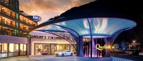
Just you, your favourite trainers, and the path ahead. In idyllic Val Passiria/Passeiertal, there are numerous Nordic walking and jogging trails that lead along rushing, crystal-clear streams, across flowering Alpine meadows, and through shady forests. Don’t miss the running trail that starts directly from the Quellenhof Luxury Resort Passeier. It is about 20 kilometres long and winds along the Passirio/Passer river in or out of the valley. If you prefer to run or walk in a group, we recommend taking a look at our in-house exercise and fitness programme, which always includes running and Nordic walking excursions with professional fitness trainers. The run is followed by strength and stretching exercises, and in summer, a Kneipp session (cold water therapy) in the cool Passirio/Passer river. Additionally, we offer a ten-kilometre run for experienced runners once a week. And those who want to get a taste of Nordic walking can take part in an introductory lesson with our trainer.
